¶ Introduction
The RPLIDAR C1 is a next-generation 360 degree 2D laser scanner (LIDAR) solution. It can take up to 5000 samples of laser ranging per second with high rotation speed. Equipped with contactless power and signal transmission technology, it breaks the life limitation of traditional LIDAR systems to work stably for a long time.
RPLIDAR C1 has a measuring distance of up to a radius of 12 meters and a low blind range of only 0.05 meters. It easily accomplishes scanning and measuring objects at various distances and achieves obstacle avoidance. RPLIDAR C1 not only delivers powerful performance but also features a compact and agile design. It is small and has low levels of noise and vibration, making it easy to integrate into various applications. Its compact size and versatility open up a wide range of possibilities and uses. RPLIDAR C1 can be used in home robot, educational ROS car, commercial robot, autonomous vehicles in low-speed parks, and parking lot space monitoring. Therefore, it can be widely applied in many consumer-oriented business scenarios.
The typical scanning frequency of RPLIDAR C1 is 10Hz (600rpm). With the 10Hz scanning frequency, the sample rate is 5KHz, and the angular resolution is 0.72°.
¶ Spec
¶ Data Communication Interface
The RPLIDAR C1 takes the 3.3V-TTL serial port (UART) as the communication interface. The table below shows the transmission speed and the protocol standard.
| Item | Unit | Min | Typical | Max | Remarks |
|---|---|---|---|---|---|
| Baud Rate | bps | - | 460800 | - | - |
| Working Mode | - | - | 8 data bits, 1 stop bit, no parity check | - | 8n1 |
| Output High Voltage | V | 2.9 | 3.3 | 3.5 | Output signal with high voltage |
| Output Low Voltage | V | - | - | 0.4 | Output signal with low voltage |
| Input High Voltage | V | 2.4 | 3.3 | 3.5 | Input signal with high voltage |
| Input Low Voltage | V | 0 | - | 0.4 | Input signal with high voltage |
¶ Software
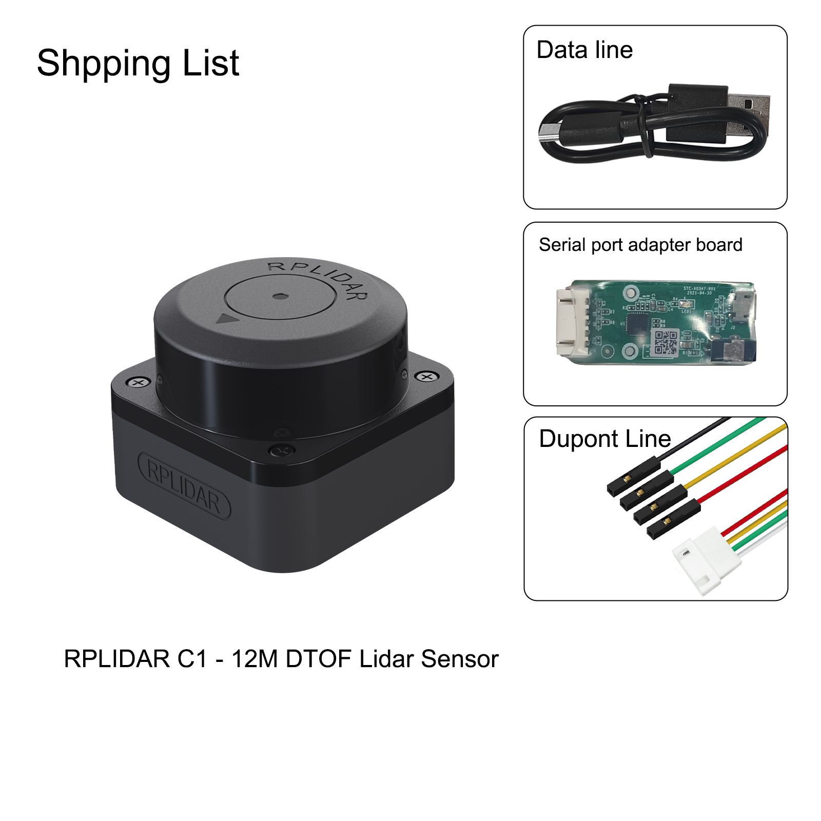
RPLIDAR C1 development kit includes the matched tools used for evaluating RPLIDAR’s performance and initial development. After connecting the RPLIDAR C1 with PC via USB cable, users can observe the cloud map of the environment scanning point collected by the RPLIDAR in RoboStudio and start development based on the SDK.
¶ Datasheet/UserManual/SDK Download
Feedback: forum.youyeetoo.com